Utah Illustrated Map Numbered Locations Art
DownloadTopics
Details
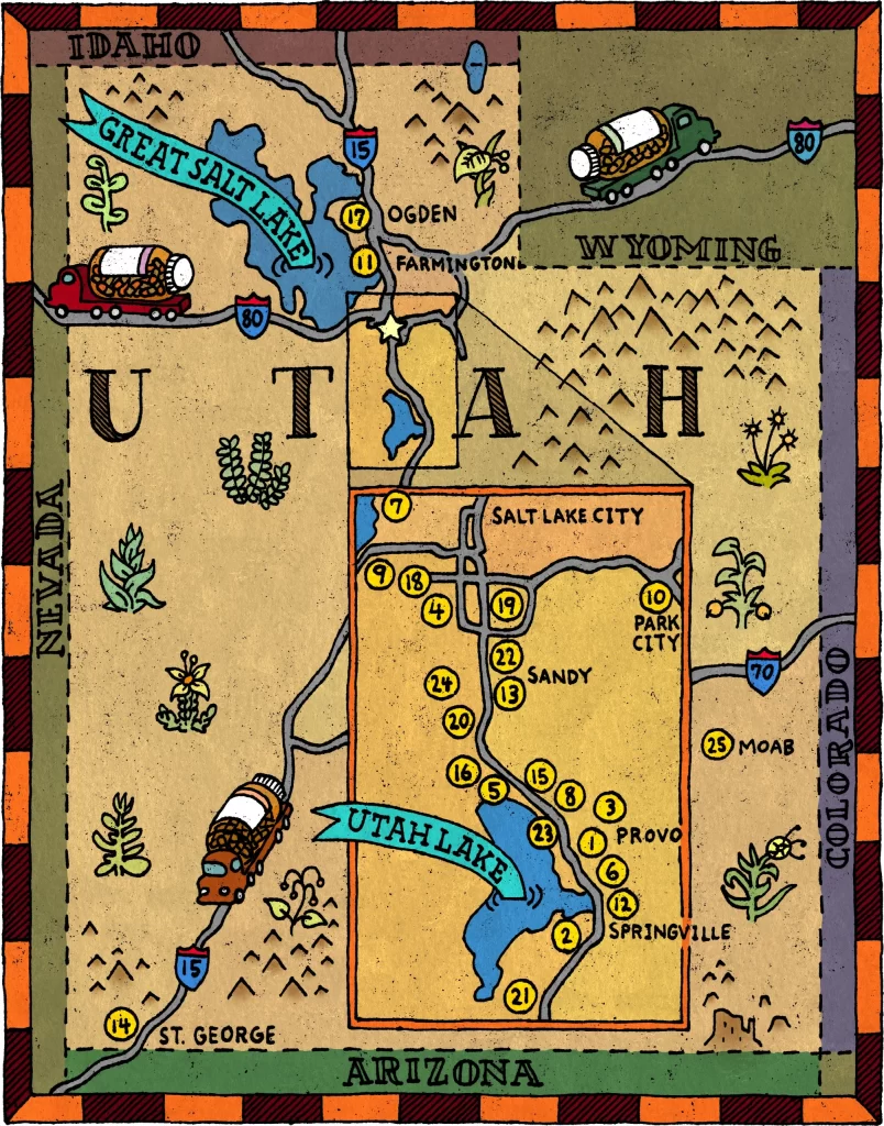
Rendered in a whimsical, hand-drawn style, this illustrated map of Utah highlights the state's geography and major landmarks. The composition features the Great Salt Lake to the north and Utah Lake in a central inset, surrounded by numbered locations ranging from Ogden and Salt Lake City down to St. George. Neighboring states of Idaho, Wyoming, Nevada, Colorado, and Arizona frame the central subject, while vintage-style trucks traverse the highways.
Andy Rash employs a textured, folk-art aesthetic characterized by a warm palette of ochre yellows, sage greens, and deep blues. The illustration utilizes bold black outlines and stippled shading to create depth, complemented by playful, hand-lettered typography for city names. Decorative elements like stylized flora and mountain ranges fill the negative space, balancing the cartographic information with artistic flair.
The artwork exudes a sense of educational adventure tailored for a young audience, likely within a children's book context. Its friendly character designs and clear visual hierarchy make complex geographical data accessible and engaging. A lighthearted mood permeates the piece, inviting viewers to explore the Beehive State through a lens of curiosity and discovery.